
Lake Wylie Information & Local Guide
Lake Wylie sits along the Catawba River between North Carolina and South Carolina and covers about 13,400 acres. It’s a popular spot for boating, fishing, and lakeside living, with more than 300 miles of shoreline and access points managed by Duke Energy.
Lake Wylie at a glance
- 13,400-acre man-made lake on the Catawba River
- Roughly 325 miles of shoreline
- Spans both North Carolina and South Carolina
- Known for boating, fishing, and waterfront neighborhoods
- Water levels managed by Duke Energy
Explore Lake Wylie Resources
-
Lake Wylie Man Guide to Lake Wylie
An interactive map of the lake showing marinas, parks, boat ramps, and popular local spots.
-
Lake Wylie History
A look at how Lake Wylie developed along the Catawba River and became one of the region’s most active recreational lakes.
-
Lake Access Areas
Public access points around Lake Wylie for boating, fishing, and spending time on the water.
-
Lake Wylie Today Magazine
Local stories, events, and updates from around the Lake Wylie community.
-
Lake Wylie Chamber of Commerce
A resource for local businesses, services, and community organizations in the Lake Wylie area.
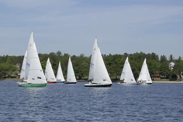
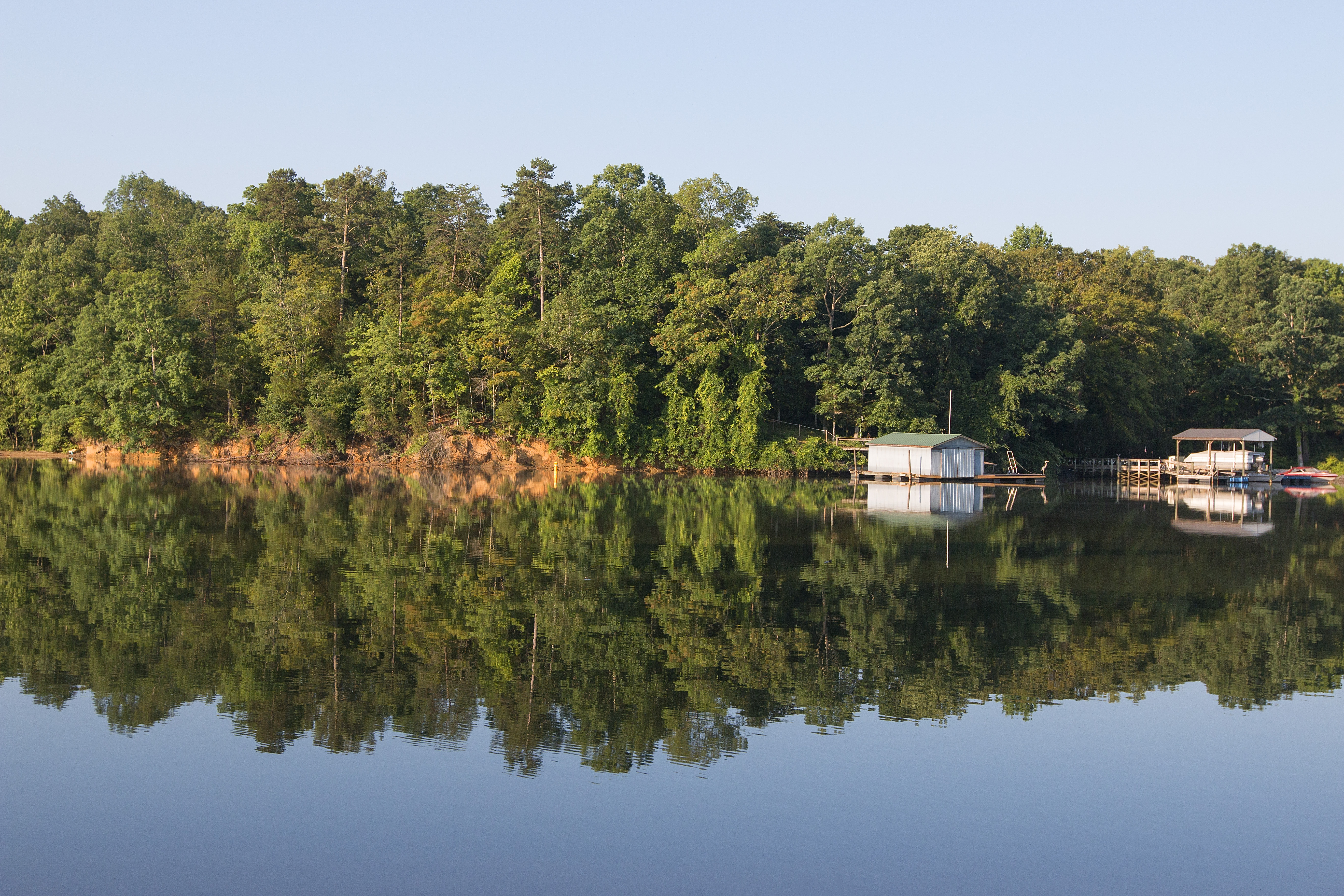
Photo by Jan Todd with Deep Creek Photography
General Lake Information
-
Man-made lake on the Catawba River, operated by Duke Energy
-
Originally dammed in 1904 and expanded in 1924
-
13,400 acres of water surface
-
About 325 miles of shoreline
-
Spans York County (SC), Mecklenburg County (NC), and Gaston County (NC)
-
Lake levels are managed by Duke Energy and stay relatively stable year-round
The lake stays active throughout the year, with boating, fishing, and shoreline recreation being the most common uses.
Frequently Asked Questions
What is Lake Wylie?
Lake Wylie is a man-made lake on the Catawba River that spans parts of North and South Carolina and is used heavily for recreation.
How big is Lake Wylie?
It covers about 13,400 acres and has roughly 325 miles of shoreline.
Where is Lake Wylie located?
It sits across York County in South Carolina and Mecklenburg and Gaston Counties in North Carolina.
Who manages Lake Wylie?
Duke Energy manages the lake and its water levels.
What is Lake Wylie used for?
Boating, fishing, waterfront living, and general outdoor recreation year-round.
Looking for ideas on where to go or what to do on the lake? We can help point you in the right direction.
Get Local TipsExplore more with our interactive Lake Wylie Map .